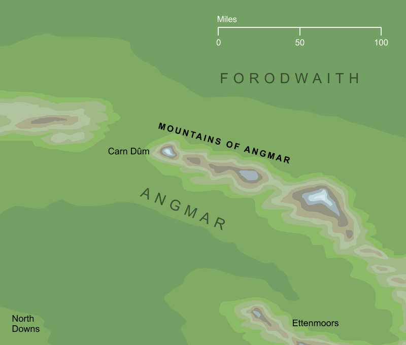
A range of high mountains that formed the northernmost arc of the Hithaeglir, or Misty Mountains. They stretched for some two hundred miles from Carn Dûm in the northwest, down towards Mount Gundabad in the southeast. The range marked the border between Eriador to the southwest and the northern wastes of the Forodwaith. During the Third Age, the Witch-king established the kingdom of Angmar among these mountains and the lands around, and his capital was beneath the northernmost peak at Carn Dûm.
Indexes:
About this entry:
- Updated 1 March 2024
- Updates planned: 1
For acknowledgements and references, see the Disclaimer & Bibliography page.
Original content © copyright Mark Fisher 2007, 2024. All rights reserved. For conditions of reuse, see the Site FAQ.